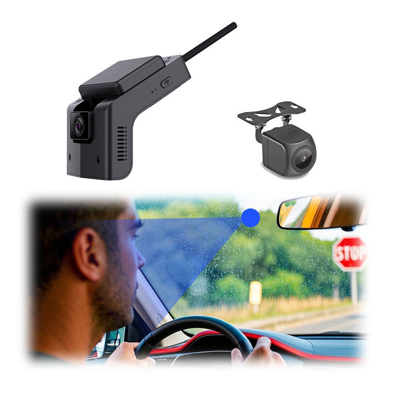
AR navigation puts an arrow on the road, and three layers decide whether it lands on the right lane. When the three layers agree, the arrow sits on the lane. When any one disagrees, the arrow drifts, jumps, or floats in space, and the driver stops trusting it. Commercial vehicle deployment is considerably harder than the passenger version. A truck cab rides higher off the road than a sedan does. Freight routes also tend to have more tunnels and more canyon stretches in them. On top of that, the driver is at the wheel for much longer, and fatigue builds up over the shift. A missed turn costs more here than it does for a commuter, too: it can mean a delivery window gone, and that costs the operator money.
A GPS fix at 10 Hz puts the truck on the map at the meter scale highway navigation needs, and GNSS multi-constellation receivers (GPS, GLONASS, BeiDou, Galileo) pull the fix tighter as the satellite count rises. The fix degrades in tunnels, under overpasses, in urban canyons, and on the rare canyon road where the open sky shrinks to a strip overhead. Commercial routes hit these conditions more often than passenger routes.
Between GPS fixes the truck keeps moving, and the position estimate has to keep up. A six-axis IMU running at 200 Hz tracks acceleration on three axes and angular rate on three axes, integrating each tick into an estimate of motion since the last GPS fix. The estimate drifts the longer GPS stays out: a few seconds in a short overpass costs almost nothing, a tunnel two kilometers long costs enough to drop the arrow off the lane. Pairing the IMU with vehicle wheel-speed signals over CAN bus pins the longitudinal estimate harder. Pairing with the steering angle pins the heading. Under the hood that estimator is almost always an error-state Kalman filter carrying maybe fifteen states, which is position and velocity and attitude plus the slow-wandering biases on the accelerometers and gyros. How it is wired to the GPS matters more than you would think. A loosely-coupled setup just takes the position and velocity the receiver has already solved and folds those in, which is fine while the sky is open. A tightly-coupled one reaches for the raw pseudoranges and Doppler instead, and on a truck that is the version you want, since it can still get something out of two or three satellites after a loose filter has given up. The drift is not linear either, which is the part that trips people up. A little gyro bias leaks into heading first, and that heading error turns into cross-track position error growing with the square of how long the truck has been coasting, so a cheap MEMS part with a loose bias-instability number falls apart in a tunnel that a better-graded one rides straight through. It is also why the long tunnel chains hurt more than one long bore. In the short open-air gaps the receiver snatches a fix or two, and those first fixes out of a blackout are usually rough, high uncertainty and now and then just wrong from the reacquisition. A filter that snaps to them throws the arrow sideways. The ones that behave predict where the fix ought to land from the inertial track, push the incoming measurement through an innovation gate (a chi-square check, more or less) and drop it if it disagrees too hard, then ease GPS back in by starting its measurement noise high and walking it down as things settle. When the truck is genuinely stopped you also get a free anchor, because velocity is known to be zero, and that holds the drift down for as long as it sits there.
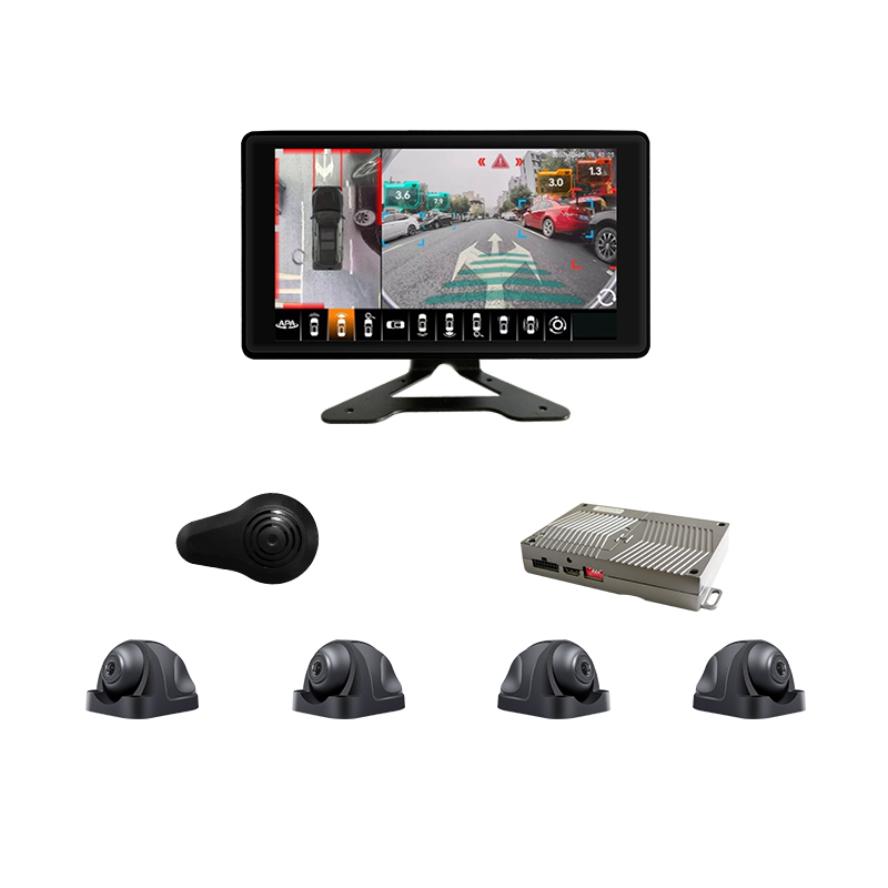
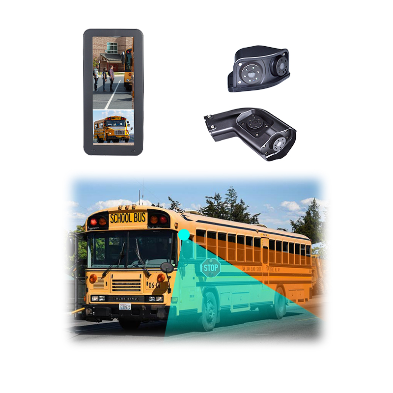
On top of position and motion, the system watches the road through a camera. A front camera at 30 fps runs a semantic segmentation pipeline that finds the road surface, the lane markings, and the horizon line, and the renderer uses these as the geometric anchor for the arrow projection. The arrow sits on the lane the camera sees, following the live image frame by frame. How the rendering pipeline locks the arrow to the road surface is the piece that decides whether the lane lock looks smooth or jittery in service. When the vision layer drops out (rain, glare, snow on the lens), the position layer takes over and the overlay floats less convincingly.
Whether that lock looks smooth or swims around comes down to timing as much as to optics. The thing that decides it is motion-to-photon latency, the whole delay from sensing where the truck is to the photon landing in the driver’s eye, and at highway speed even a few tens of milliseconds of it will slide the arrow sideways by a noticeable slice of a lane, because the world has moved on by the time the frame shows up. It is also more or less what separates a real AR-HUD from a navigation display that just paints a fixed icon on the glass. The usual way out is borrowed from VR: you render against a pose predicted forward by roughly the pipeline latency, then reproject or warp the finished frame at the last moment using the freshest pose you have, so the picture catches up to where the truck is. None of that works if the camera and the IMU are not synced tight, and a lot of the visible jitter people blame on the renderer is a timestamp offset between those two sensors that the fusion never accounted for. The ten-meter virtual image distance is doing its own job in all this. Putting the focal plane out around ten meters means the eye barely has to refocus between the road and the overlay, which is what keeps the thing comfortable to look at for hours, though it also means content meant to sit much closer than that never fully lands. And the windshield itself is a freeform combiner, so the picture-generation unit has to throw a pre-distorted image that the curved glass bends back into shape, calibrated per vehicle, all of it living inside an eyebox the driver’s head has to stay within or the overlay drops out, with sunlight that can both wash the display out and cook the unit if the packaging is sloppy.
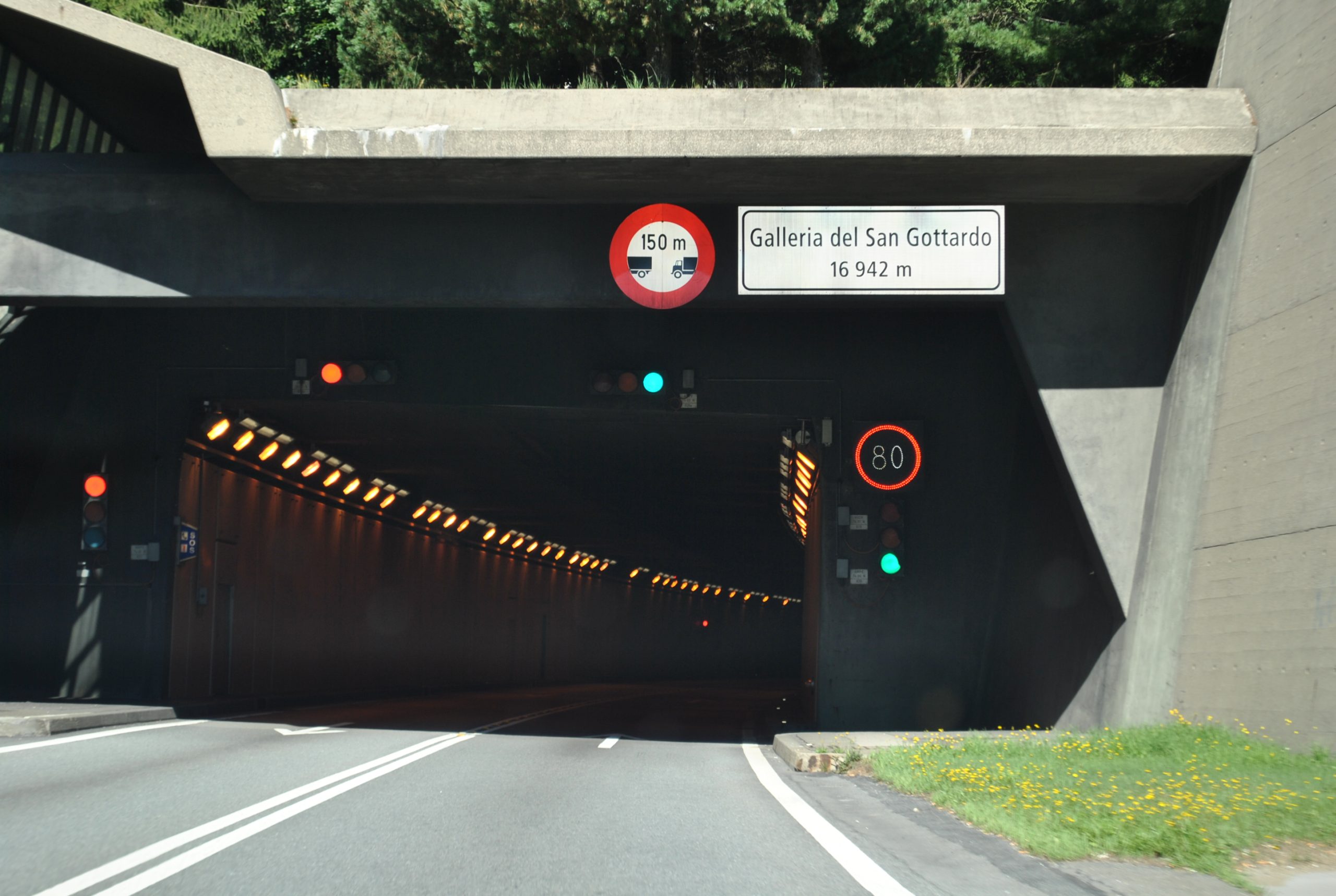
AR navigation breaks in commercial deployment in patterns the passenger market rarely surfaces because the truck environment imposes conditions a sedan rarely meets. The first is tunnel duration. Highway tunnels are tunnels, and a 2 km tunnel between two GPS fixes is still survivable on the IMU alone, but a fleet running mountain corridors regularly sees tunnel sequences with 4 km and 5 km segments and short open-air gaps between them where the GPS partially reacquires before losing lock again. The IMU dead-reckoning across these tunnel chains accumulates error in a way that pure 2 km segments do not, and the recovery logic when GPS comes back differs from a simple snap-to-position. The second condition is urban canyon multipath. Inner-city delivery routes for class-VI trucks navigate streets where the only sky visible is directly above, and the GPS fix bounces off the building walls before reaching the antenna with a delay that adds tens of meters of false position error. The AI-driven smart correction that picks the right fix out of bounced signals is the layer that keeps the position usable while the satellites are misbehaving. It pays to be precise about what is going wrong there, because multipath and NLOS get lumped together and they are not the same animal. Plain multipath is the direct signal and a reflection landing together and smearing the measurement. NLOS is the nastier and more common downtown case, where the direct path to the satellite is blocked by a building and the only thing reaching the antenna is a bounce, so the pseudorange comes back biased long by whatever distance the signal detoured, which is where those tens of meters come from. Much of what helps is unglamorous. You weight each satellite by its carrier-to-noise ratio and quietly stop trusting the weak ones. A consistency check across the satellites you do have will usually catch the one that cannot be reconciled with the rest, which is the old RAIM idea wearing a newer hat. With a building model on board you can go further and work out which satellites are shadowed from wherever the truck is sitting, then throw them out before they poison the solution. The quiet workhorse through all of this is Doppler, since velocity off the Doppler shift holds up far better than position under multipath, so even when the fix is wandering you usually still know how fast and which way the truck is going, and the inertial side carries the position on that. Where there is an actual AI in the loop, it is normally a classifier fed the per-satellite features you would eyeball by hand anyway, signal strength and elevation and how badly the range disagrees with the others, taught to flag the bounced ones. It earns its keep, but the real lifting is still being done by the satellite selection and the map sitting underneath it. The third condition is the canyon road. Highway corridors through canyons in mountainous geographies (the Pacific Northwest, the Andes, the southern Italian Apennines, parts of central China) drop the open-sky angle to a narrow strip overhead, satellite count collapses to two or three usable birds, and the AR overlay loses confidence for ten or twenty kilometers at a stretch. The fourth condition is sensor vibration from the cab itself. A loaded long-haul tractor at highway speed produces a vibration spectrum that loads the IMU with a noise floor a passenger sedan never produces, and the same IMU chip that delivers clean estimates in a sedan delivers degraded estimates in a Class 8 cab unless the six-axis fusion is tuned for the truck mounting and load profile. And then there is the question of which exit the system calls at a multi-level interchange when the GPS is fine but five ramps overlap into the camera frame within 200 meters of each other. A commercial AR navigation deployment that has not budgeted for all of these arrives at the customer as a system that performs well in benchmarks and frustrates the driver in service, and the field reports that come back are usually one of these conditions hitting the same week the route changes. Driver acceptance after a few months of frustration is the metric the fleet manager keeps an eye on, because no amount of regulator-mandated active-safety value justifies a system the driver stops looking at.
The vibration one rewards a closer look, because the failure it causes is sneakier than just a noisier signal. MEMS accelerometers are a little nonlinear, and broadband shake gets rectified through that nonlinearity into a steady offset, vibration rectification error, which reads as a slow bias and quietly walks your position off to one side. On top of that, if the strapdown integration is not running fast enough, oscillatory motion leaks into the attitude and velocity solution as coning and sculling errors, so part of the fix is just integrating quicker and carrying the right compensation terms, something you have to get right up front and cannot bolt on in the filter afterward. What the cab throws at the chip is a mix: narrow spikes sitting on the engine’s firing orders at whatever rpm it is holding, plus the broadband stuff coming up through the tires and the road, with the tractor frame ringing at its own resonances on top of all of it. And it moves with the load. An empty trailer and a forty-ton one are two different mechanical systems, the suspension and the cab mounts shift their transfer function and their resonant frequencies, so the spectrum the IMU sees is not the same truck to truck or even run to run. The honest fix is mostly mechanical and upstream of the math. You isolate the IMU and choose its bandwidth and anti-alias filtering with the engine orders in mind, and now and then you notch the worst peaks out. The catch is that isolation buys quiet by adding phase lag, and phase lag is the last thing you want in a high-rate attitude solution, so you end up trading one off against the other. Tuning the six-axis fusion to the mounting and the load comes after all of that, and it cannot rescue an IMU that is being shaken into rectification in the first place.
A drifting arrow that swings with the truck heading and slowly returns to true says the IMU is integrating bias and the GPS is recovering. A jumping arrow that snaps from one part of the screen to another says the position fix is being corrupted by reflections rather than lost. A floating arrow that loses the lane and waits in space says the vision pipeline has lost the road surface. Each pattern points at a different layer.
The route-level fixes that stick are the ones the fleet learns on the road. Long tunnels are flagged in the routing layer so the dispatcher expects a stretch of low-confidence guidance, and a chronically bad urban canyon usually just gets a reroute. The thin-sky canyon corridors earn an extra IMU check at the entry and exit, while cabin vibration gets logged fleet-wide so the calibration can settle to the truck class over a few months.
The same route looks different depending on who is driving it. A driver who runs the same route for six months sees the same failure points each shift and learns to ignore them. A relief driver covering the same route for one week is hit by the same failures fresh and judges the system by them. Fleet acceptance studies that average across drivers miss this completely.
Passenger-car AR got a head start on some things and lags on others. It is well ahead on the things a driver sees and feels, like rendering quality and the optical comfort of the display, and on meeting what consumers have come to expect. Where it falls behind is the operational plumbing: dispatcher integration above all, but also the route logging and the fleet-wide acceptance instrumentation. A commercial deployment borrows the optics from the passenger world and replaces almost everything else.
Vehicle wheel-speed signals pin the longitudinal motion estimate harder than the IMU alone can manage. A wheel-speed sensor at each driven axle reports rotational speed at hundreds of hertz. That average travels over the CAN bus to the AR module, which uses it to bound the IMU integration. When GPS drops out, the longitudinal drift over thirty seconds with wheel speed is a fraction of what it would be with IMU alone. The cost of the integration is one CAN message subscription and a calibration of tire circumference.
The wheel itself is a clue to where the truck is about to go. A driver turning the wheel ten degrees off straight is signaling a planned lane change or a planned exit; the AR system reads the angle off CAN and weights its heading estimate accordingly. Without the steering signal, the AR system has to wait for the IMU yaw rate to integrate the turn, which adds latency in the worst place. The result is an arrow that hesitates at the moment the driver is committing to the lane change. Steering integration removes the hesitation.
On electric trucks the regenerative torque modulates the longitudinal deceleration in ways a pure friction brake does not, and the AR module reading that torque can predict the deceleration trajectory ahead of what an accelerometer alone can see. The HUD warning about a stop ahead is timed to the regenerative profile, not the friction profile. On diesel trucks the engine brake plays a similar role at lower fidelity.
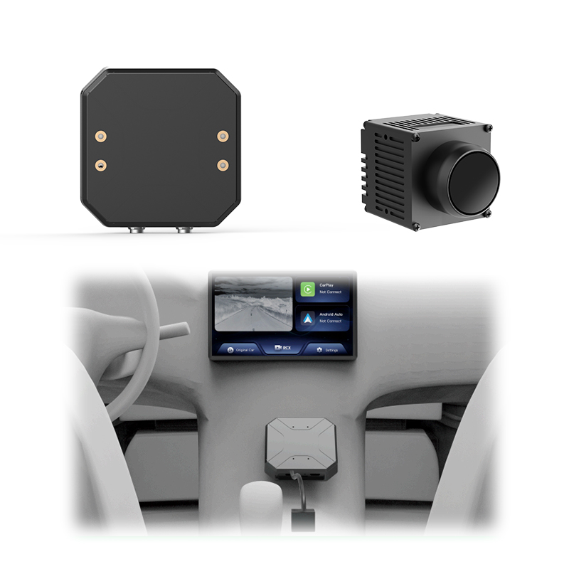
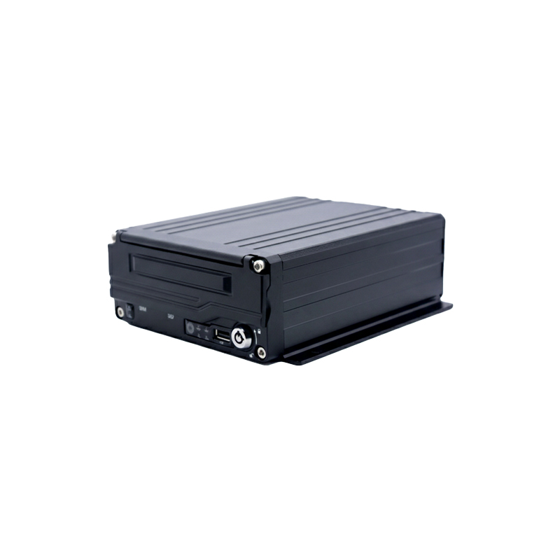
New builds put a domain controller in charge of cabin-side software, and the AR module has to go through it. The domain controller carries an authenticated channel to the cabin systems, and the AR module that wants to read brake-by-wire status or to write a HUD warning passes through the controller permissions. After-market AR systems that bypass the domain controller through a piggy-back harness work, but the OEM platforms that integrate at the controller level get cleaner signals, lower latency, and a maintenance path the fleet can use over years.
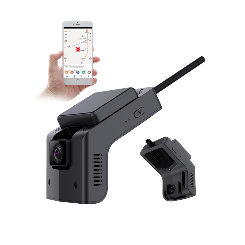
The current shipping state for commercial AR navigation in 2026 puts the optical pieces ahead of the integration layer. The AR-HUD modules are commercially available now, ten-meter virtual image distance and lane-locked overlay, at prices the fleet can defend on a long-haul tractor. The six-axis IMU fusion and the road-surface segmentation behind them are both mature too, the segmentation running at frame rate on current automotive-grade SoCs. What ships less consistently is the dispatcher integration, the route logging that feeds back into the AR system confidence scoring, and the per-driver acceptance instrumentation that picks up which drivers are turning the system off.
The buy-and-build pattern matches where the technology is. In 24 months the integration layer will mature into off-the-shelf modules at price points fleets find easier to defend; today, the fleet that wants the data is the fleet that writes the integration. The optical pieces stay where they are, the integration layer keeps moving.